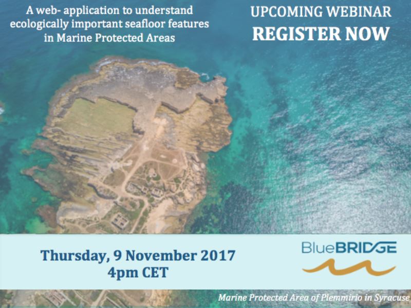
The protection of the marine environment is important to ensure that there are marine resources for future generations. Marine Protected Areas (MPAs) are a key management tool to support the conservation of marine resources. The Convention of Biological Diversity Aichi target 11 states that by 2020, at least 10 per cent of coastal and marine areas, especially areas of particular importance for biodiversity and ecosystem services, are conserved through ecologically representative and well-connected systems of protected areas.
To assist managers to understand the ecologically important seafloor features represented within their MPAs and to plan for the development of future MPAs, BlueBRIDGE will release the Protected Area Impact Maps Virtual Research Environment (PAIM VRE), a VRE developed with GRID-Arendal and FAO of UN to improve the understanding of the spatial distribution of existing and planned MPA’s and their coverage of seafloor features. The PAIM VRE lets users analyze global data on marine protected areas in relation to important seafloor features such as seamounts, canyons, seagrass and mangroves.
In this webinar, Miles, Debhasish and Levi will introduce you to the PAIM VRE, how it was built, and how it can be used to support the development of marine protected areas. We will discuss the underlying data used by the VRE and explain how we used open source software and the BlueBRIDGE e-infrastructure to develop spatial analytical algorithms and the PAIM VRE reporting interface. We will end this webinar with a live demonstration of the VRE.
Webinar Information
- Duration: 1 hour
- Start date: 9th November 2017
- Start time: 4:00pm CET
- Timezone: Central European Time (CET)
About the Speakers
GRID-Arendal was established in 1989 to support environmentally sustainable development by working with UN Environment and other partners. We communicate environmental knowledge that strengthens management capacity and motivates decision-makers to act. We transform environmental data into credible, science-based information products, delivered through innovative communication tools and capacity building services. Our vision is a society that understands, values and protects the environment on which it depends.
 Miles Macmillan-Lawler is a marine scientist specializing in spatial planning and seafloor mapping. Growing up on the shores of the Derwent River Estuary in Tasmania, he spent much of his childhood swimming, fishing and exploring the coastline. At GRID-Arendal, Miles leads the state of environment and spatial planning group. He has also worked on marine protected area planning for the Australian Government, which resulted in the development of a national network of marine protected areas.
 Debhasish Bhakta was born and brought up in India, where the forest was an integral part of his childhood. He has an academic background in Forestry and Geo-informatics. He works as a Geographic Information System (GIS) professional with passion for computer programming. His proficiencies include WebGIS development, customization of desktop application, GIS modelling, analysis & visualization of geospatial data and digital image processing of satellite imagery.
 Levi Westerveld is a French and Dutch geographer who provides research, spatial analysis, cartography and capacity building support to an array of projects at GRID-Arendal. Besides BlueBRIDGE, some highlights from his work at GRID-Arendal include developing a drone mapping methodology to assess mangroves’ carbon sequestration capacity, facilitate participatory mapping workshops with Saami Reindeer Herders in northern Norway and finding novel ways to combine open source data with GIS analysis to monitor waste trafficking.
